Hayden M. Elza
GIS Software Engineer/Developer
I am a developer focused in geoinformatics. My interests are in open data, free and open source GIS, and spatial web tools.
Currently Listening
Proof of Concepts
Carto Elements
A collection of north arrows, scale bars, and other cartographic elements.
Where Have You Been in Wisconsin
Map of Wisconsin where users can mark counties they have visited and choose a marker color.
Townships General Description
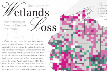
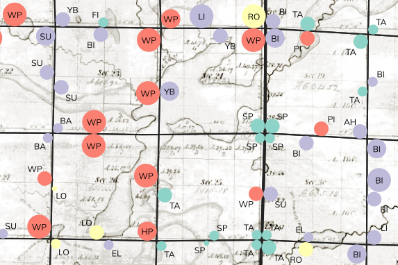
Web map where users can zoom around and click on township to view general land description transcribed from the orginal General Land Office (GLO) Public Land Survey (PLS).
PLSS Locator
The PLSS Locator is a free tool to help users identify within which Public Land Survey System (PLSS) subdivisions a location resides.
Experience
Software Engineer/Developer
Wisconsin State Cartographer's Office
Aug 2019 - Present
Conduct research, development, and support of new geospatial technologies, as well as project coordination and technical support for the SCO Student Lab and Statewide PLSS dataset.
Research Specialist - GIS
Wisconsin State Cartographer's Office
Apr 2019 - Aug 2019
Technical lead on NOAA-funded project of special merit (PSM), a collaboration between the Department of Administration (DOA) and the State Cartographer's Office (SCO). The goal is to use AWS as our main platform for our cloud environment to provide a digital space for our stakeholders to store, share and explore data, make and share maps, use tools, and collaborate on problems shared across administrative boundaries.
GIS Analyst - Research Staff
University of Wisconsin - Madison
Mar 2016 - Dec 2018
Mladenoff forest landscape ecology lab, main task was to lend technical support to a research project studying the tension zone in Wisconsin. Managed and utilized database systems, augmented spatial data using GIS GUIs as well as custom scripts, curated lab data, managed long-term data storage, and pioneered new projects in addition to lending support for ongoing projects and students.
GIS Web and System Developer
UW Sea Grant Institute
Jan 2015 - Jan 2019
Manage map/GIS related servers and customize web applications to fit the Sea Grant Institutes specific needs. Work with open source GIS-software including MapServer, GeoServer, GeoNetwork, PostGIS, PostgreSQL, and Open Geoportal while developing a custom stack.
GIS Analyst - Student
University of Wisconsin - Madison
Nov 2013 - Mar 2016
Work on a plethora of projects including assessing wetlands loss in Wisconsin since pre-settlement time, Bordner map digitization initiative, and other small projects and map/data requests.
Research Intern
Umeå Universitet / SLU
June 2013 - Aug 2013
Research focused on many different aspects of nitrogen fertilization and cycling as well as how nitrogen fertilization interacts with different aspen genotypes. Topics covered included: data collection, experimental design, and statistical analysis.
Education
Professional GIS Certification
University of Wisconsin - Madison
Aug 2014 - Dec 2015
A graduate-level capstone program providing a mix of GIS theory and practical experience for many possible applications and fields. Capstone project exhibited applied knowledge of GIS theory and techniques.
B.S. Forest Science
University of Wisconsin - Madison
Aug 2010 - May 2014
Coursework focused on forest management and geographic information systems. Classes consisted of indoor instruction and outdoor practicums. Summer research and capstone project provided valuable experience and consolidation of knowledge.
Certification
Amazon Web Services Certified Cloud Practitioner
Jun. 2019, Jun. 2022
OSHA Chainsaw Safety Level 1 – Forest Safety Instruction
Nov. 2014
Skills
Contact
